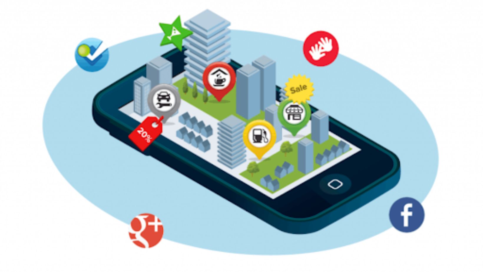
The COVID-19 scare resulted in a spike in interest in geolocation services. Location-based services on a Global Scale were valued at USD 45.4 billion in 2021, and it is expected to increase at a CAGR of 24.6% from USD 56.57 billion in 2022 to USD 409.48 billion by 2030. Even while companies like Uber, Lyft, and Tinder have established themselves as market leaders, there is still a lot of possibility for innovative geolocation app development solutions in this space.
To get a Topflight insight on more industries using location-based services, follow this link https://topflightapps.com/ideas/how-to-make-a-location-based-app-with-gps/.
Geolocation Apps- Industry Insights
The market for geolocation technology is expected to grow to $181.39 billion by 2027. Before we discuss how to make a geolocation app, let’s go through industry insights first.
Food Delivery Applications
The global online meal delivery industry was calculated at USD 221.65 billion in 2022 and is predicted to increase at a compound annual growth rate (CAGR) of 10.3% from 2023 to 2030. Since implementing real-time location data, we have seen a reduction in delivery times of 25%, which has directly affected increased customer satisfaction.
Location-Based Fitness Apps
The global fitness app market is estimated at an American dollar of 5.87 billion in 2022 and is projected to gain USD 21.06 billion by 2030, growing at a CAGR of 17.30% between 2022 and 2028. Geolocation advancements are fueling the fitness app market. Because most gym users prefer virtual workouts these days, geolocation technology presents the best solution for this choice.
Dating Apps
In 2022, the market for dating apps was estimated at $8186.27 million; by 2028, that number is projected to rise to $110722.06 million, a CAGR of 4.6%. With a sizable proportion of US adults using dating apps, proximity-based matching has proven to be a game changer. Geolocation increases the number of matches, allowing for genuine connections that transcend geographical boundaries.
Location-Based Apps For Supply Chain
According to recent figures, 1.7 million shipments are stolen in the United States every day. This is also an issue for logistics businesses, with 10% to 40% of supply chain assets lost or stolen yearly. Companies can use location-based apps to track their assets, identify the supply chain stage where the damage occurred, and save money on asset maintenance or replacement.
Industry-Related Issues- How Geo Apps Can Solve These
Below, you can find just a few examples, and the potential importance of GPS app development continues to grow as technology evolves.

The key advantage of GPS in all these applications is its ability to provide real-time, accurate location data, which can be leveraged in countless ways to improve efficiency, safety, and decision-making.
Retail Market
In-store retailers can greatly benefit from location-based marketing. When potential customers are within 100 meters of your shop, they are more likely to visit it than when they are at home. Users are more likely to pay attention to push notifications with personalized ads if you already know their interests.
Automobile Sector
Today, vehicles are more than just a collection of moving mechanical parts; they also have cutting-edge electronics and computer systems. Vehicles now feature GPS integration with their entertainment systems. Apps that track your location also protect you from theft by keeping tabs on your car’s location in real-time and notifying you of any suspicious activity.
Supply Chain And Logistics
The logistics and supply chain sector now relies heavily on geolocation tools. Businesses can use GPS modules to keep consumers updated on their orders and forthcoming delivery regardless of the mode of transportation used to transport the goods (land, sea, or air).
Hotels and food chains
Today, every hotel and hospitality app includes a map view of nearby lodging options. In addition, a few accommodations have comprehensive smartphone apps with features like remote check-in, indoor navigation, and more.
Technologies That Enable GeolocationAapps
These technologies play a major role in making a GPS-based app:
Assisted GPS
Cell ID is used by A-GPS to improve the quality of the GPS signal. Devices can estimate their satellite locations using A-GPS data. This allows the geolocation apps to function better in the face of signal interference and adverse weather conditions by knowing where to look for satellites.
Cell ID
The signals from nearby cell towers are used by cellular identification to pinpoint a user’s precise location. It could come in handy when the GPS signal is poor or nonexistent. However, the success of this system is heavily dependent on the closeness of the transceivers. It can be useful in densely populated areas with many cell towers, but it won’t do much good out in the middle of nowhere.
Eddystone
Eddystone is a Google product. This system can connect to people’s gadgets using Bluetooth Low Energy (BLE). The app displays the point on the facility’s map quite correctly based on the device’s location relative to i-beacon systems by Apple (the error does not exceed 3m / 10ft).
WiFi
WiFi hotspots are also used for indoor navigation. This method is more cost-effective than using Bluetooth beacons but is less accurate (5-15 m / 16-49 ft).
Geolocation App Development- The Succeeding Way In This Competitive Industry
In the following section, we’ll walk you through the process of making an Android app that uses GPS for your business:
Premarket Research And Analyzing
It is important to evaluate the project’s potential and profitability before starting development. By digging in, you can find out who your rivals are and what solutions are already out there. Analyzing competitors assists in developing tactics to outperform them and cultivate a loyal user base.
Getting Hands On The Tech Stack
Choosing the right tech stack is critical to the success of geolocation application development. Choose navigational and industry-specific technologies. Make a comprehensive feature list with the help of your developers, defining the resources that will bring your app’s vision to reality.
UX/UI Wireframes
The attractiveness and usability of your software are heavily influenced by the UI and UX design. Along with bugs and security holes, ignoring this is a major reason why apps cannot retain users over time.

To ensure a smooth and interesting journey for the user, designers create wireframes and prototypes to depict the app’s layout and interaction.
Integrating Security
The security of sensitive data is very important to make a location-based map app. If user data is mishandled, the company could face legal action and hefty fines. Reputable software development firms prioritize data security and take proactive measures to protect user information, giving their clients peace of mind.
Developing And Testing
Development begins after your project’s feasibility and tech stack have been confirmed. The quality of the app’s features, safety, and usability can only be guaranteed by continuous testing. Careful testing ensures that the final product is of high quality and operates without an issue.
Release And Maintenance
Once development and testing are complete, you can release your app to the public and begin the maintenance process. , you can prevent problems and stay compatible with new technologies by keeping up with updates and maintenance.
Wrapping Up!
Geolocation app development is a tedious task that calls for careful planning and preparation. Each stage, from feasibility analysis to tech stack selection to UX design to data security checks, is important. The launch is the beginning of user engagement, and regular upkeep is the key to the long-term success of an app.


